
Merrifield ZIP Coverage
Fairfax County records identify three verified postal contexts for Merrifield research: 22042, 22043, and 22180. They are not a claim that every part of the Census-designated place belongs to each delivery area. Postal cities, ZIP areas, county parcels, and Census polygons serve different purposes. Check the address itself through USPS, the county community map, and the relevant parcel before attaching a Merrifield description to a record.
| ZIP | Areas Covered | Post Office | Notes |
|---|---|---|---|
| 22042 | Merrifield core and Route 29/Gallows corridor examples | Falls Church postal city | The postal label does not establish City of Falls Church jurisdiction. |
| 22043 | Falls Church, West Falls Church, Idylwood, and western or southern edge contexts near Merrifield | Falls Church postal city | Adjacent communities and the CDP boundary can cross postal conventions. |
| 22180 | Vienna, Dunn Loring, and Merrifield east or north edge contexts | Vienna postal city | County parcel examples can carry a Merrifield sector description with this postal city. |
The county ZIP reference map is the local visual aid, while the county ZIP boundary service exposes ZIP City and Alt ZIP City fields for GIS confirmation. No official source reviewed identifies a Merrifield ZIP split, realignment, or effective year. Treat a historical change as unverified until USPS or a dated county source confirms it.
Note: A ZIP is a delivery area, so a ZIP label alone cannot settle a parcel, community, or jurisdiction question.
Merrifield ZIP Directory and CDP Lines
Merrifield is an unincorporated Census-designated place, or CDP, in Fairfax County. Census identifies it as GEOID 51192 with unincorporated status U. The county CDP map places Merrifield beside Dunn Loring, Idylwood, Vienna, Mantua, and Woodburn. That statistical community polygon does not turn Merrifield into a USPS city and does not make the City of Fairfax, the county seat, its municipal government.
This explains an otherwise confusing result: an address can use Falls Church or Vienna as its delivery city while county context, a sector label, or a community layer refers to Merrifield. Preserve every label exactly as returned. A record should say what its source calls the location, then use a parcel, map feature, or Census polygon to explain the local relationship.
Census TigerWeb’s Merrifield CDP reference supplies the geographic identifier used for this comparison.
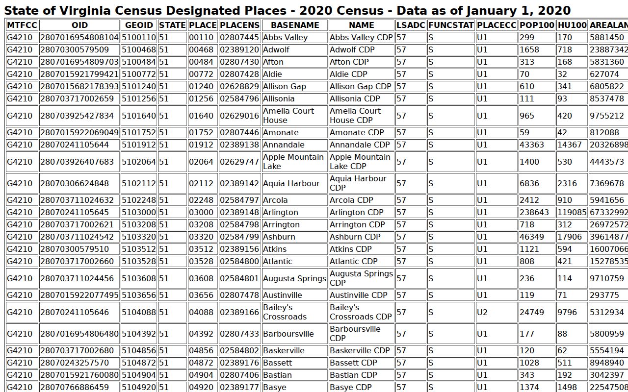
The Census view is a boundary reference, not a postal-address validator.
Verify a Merrifield ZIP With USPS
USPS ZIP Lookup is the address-level authority for a standardized mailing ZIP. Use the street address, city, and state fields, run Find or Search, and retain the standardized ZIP, city, and state returned. Run this after identifying the county address through MAR when a road, postal city, or historical form is uncertain. USPS verifies delivery formatting. It does not decide whether an address is in the Merrifield CDP or identify a parcel owner.
| Street address | Enter the complete delivery street line and unit when applicable. |
|---|---|
| City | Use the postal city supplied with the address rather than replacing it with a community name. |
| State | Enter Virginia for this Merrifield address check. |
| Find or Search | Submit the address to receive USPS standardized ZIP, city, and state output. |
A ZIP+4 is a delivery refinement within a five-digit ZIP. It helps USPS route mail but does not describe a neighborhood boundary or a current household. Save the exact input and output date when the standardized form will be compared with a historical directory, map, or deed.
The USPS address lookup shows the fields used for an address verification.
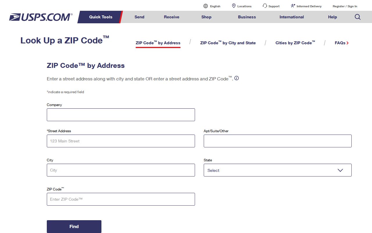
The returned postal format is the starting point for, not a replacement for, county geographic checks.
Map a Merrifield ZIP
The Fairfax community and places map accepts an address, place, or ZIP through its magnifier. Press Enter, click the returned feature, and compare the displayed community or CDP with the ZIP layer. Its controls provide a geography clue. A parcel report and Census polygon remain the better support for a boundary conclusion.
County GIS also publishes a ZIP boundary service with ZIP City and Alt ZIP City attributes. Use it alongside the county ZIP reference map when a mailing label and a community name disagree. The county map should not be used to infer who lives in the area or to turn a delivery route into a neighborhood roster.
Fairfax’s community, place, and ZIP map provides the county layer for an address comparison.
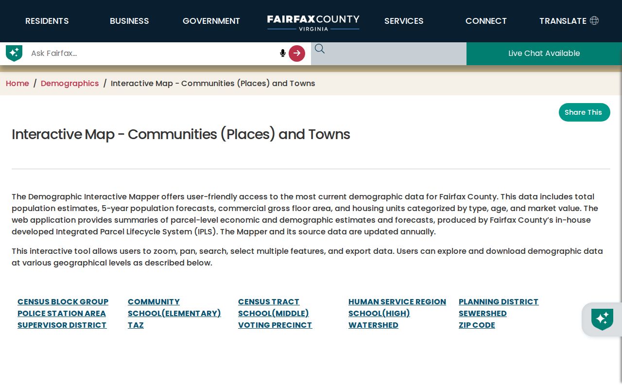
Compare the map label with USPS output rather than replacing one result with the other.
Find Addresses in a Merrifield ZIP
No reviewed official source offers a ZIP-wide current-person roster for Merrifield. MAR can return address features by ZIP, while iCare is primarily address, map-number, and map-search based. The Virginia voter route uses statewide registration data, and full-list access has purpose and purchaser restrictions. A careful ZIP research task therefore starts with an address and returns address or geography evidence, not an unbounded list of residents.
- Record the full street line, unit, postal city, and ZIP exactly as supplied.
- Use USPS to preserve the standardized mailing result, then query Fairfax MAR by number, street, and ZIP.
- Compare MAR’s current or historical address, full road name, parcel or PIN, and created or expired dates.
- Open the county community map with the same address, place, or ZIP and record the community and ZIP layer labels.
- For a historical street, check Virginia Room directories under plausible Fairfax, Falls Church, Vienna, Dunn Loring, or suburban headings and compare the deed legal description.
MAR is Fairfax County’s authoritative address system for emergency, mail, and address data. Its address, parcel, and street modes distinguish current from historical records. The service metadata shows addresses from March 1, 2004, so older continuity requires directories, maps, or deeds. Once a ZIP narrows the area to a known road, the Merrifield street directory has the address-by-address record sequence.
Merrifield ZIP Labels Compared
Four address terms may appear in one Fairfax record and mean different things. A stable parcel or PIN and a deed legal description often bridge a changed street name or postal label more reliably than a ZIP. Preserve leading zeroes and suffix letters in a PIN. The research supplies examples such as 0494 01 0033 and 0492 01 0026C, but the county has not published a digit-by-digit decoding key in the reviewed material.
- Situs address
- The physical location of a parcel and the bridge used by property, GIS, and deed records.
- Mailing address
- The place used for tax correspondence. It can belong to an agent, trust, manager, or out-of-county owner.
- Legal description
- Deed language such as lot, block, subdivision, or metes and bounds that can survive a street-name change.
- Postal city and ZIP
- USPS delivery routing, which does not establish a municipal or CDP boundary.
- Carrier route
- A postal delivery grouping used for mail operations, not a community or household directory.
USPS ZIP Code basics explains the postal role of the code and its delivery use.
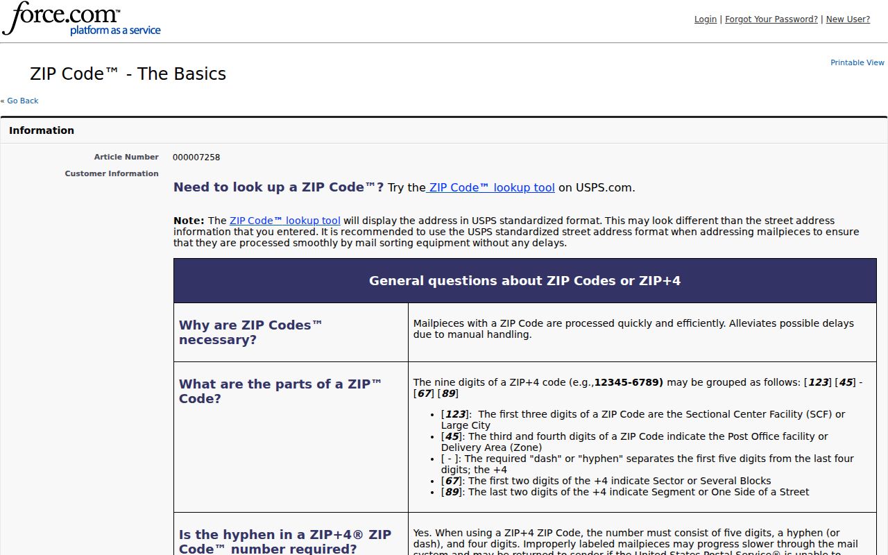
Postal terminology helps describe a result without overstating what the delivery label proves.
Merrifield ZIP History Gaps
Do not invent a ZIP realignment history for Merrifield. No official source reviewed states a local split, realignment, or effective date, and the exact Census-CDP-to-ZIP overlay was not located. A five-digit result is a delivery reference, while CDP geography is statistical and parcel jurisdiction is a county GIS and legal-description question.
For an old address, USPS lookup will not recover a discontinued road name. Search MAR’s current and historical rows, including created and expired dates, then compare older map tiles, a directory’s city heading, and a deed’s legal description. Lee Highway, Lee-Jackson Memorial Highway, Route 29, and Route 50 can be historical or current road references in this corridor. The county’s road-renaming material and USPS notification should be checked when a record uses one of these variants.
Note: Retain the original postal city in each source because normalizing it to Merrifield can erase useful history.
Merrifield ZIP Directory Limits
A ZIP code directory can confirm delivery geography and organize an address search. It cannot prove who occupies every address in a ZIP. County property reports can identify owners or entities and tax mailing addresses, but ownership and mailing data are not a complete household record. Fairfax records also distinguish address geography from protected personal information.
Occupant names, utility and delivery accounts, DMV addresses, protected voter addresses, Address Confidentiality Program physical addresses, juvenile and family case details, and unlisted phone information are not open ZIP directories. Use results for lawful personal research, cite the source and date, and never use record details to stalk, harass, or harm anyone.
When the goal is a family-history or property question, save the address as entered, the USPS result, the MAR row, the map-layer label, and the date of each result. A later researcher can then distinguish a delivery label from a county address record and see which source supported a Merrifield connection. If an address is missing from one system, test alternate postal cities and the historical road form before treating the absence as meaningful.